 |
 |
 |
||
| Created from parts of Mason and Campbell, 1797 | Lost area to the creation of Pendleton, 1799 | Lost area to Harrison, 1820 | ||
 |
 |
 |
||
| Lost area to Harrison, 1834 | Gained area from Nicholas, 1844 | Lost area to creation of Robertson, 1867 | ||
 |
||||
| Lost area to Pendleton, 1882 | ||||
| Changes in the Bracken County Boundaries over the years. In addition to the changes mapped above, there were minor changes to accommodate property owners in 1844 (gain from Harrison), 1854 (gain from Mason) and 1864 (gained from Harrison). They also appointed some folks in 1848, to draw the exact line between Pendleton and Bracken. | ||||
![]()
 |
 |
| Higginsport | Augusta |
 |
 |
| Tietzville | Bradford |
 |
|
| Foster | |
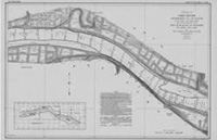
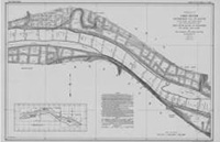
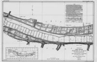
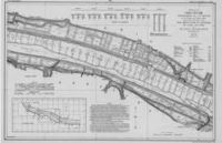
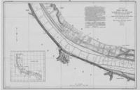
| In 1911-1914 the Corps of Engineers mapped the entire length of the Ohio River. You can see the whole thing, from Pittsburg to Cairo, at their web site. Clicking the maps shown here will take you to the appropriate Bracken County map at the Corps' site. | |
![]()
 |
 |
| Bracken County, 1889 | Bracken County, Kentucky, 1935 red lines are roads, black lines are railroads |
![]()
Augusta, Tietzville, Foster, Wellsburg
 |
 |
 |
|
Bracken County Precincts |
Augusta Precinct | Augusta |
 |
 |
 |
| Berlin Precinct | Brooksville | Brooksville Precinct |
 |
 |
 |
| Chatham Precinct | Fairview Precinct | Foster - Germantown Precincts |
 |
 |
 |
 |
| Germantown | Milford Precinct | Bracken County Patrons | |
These maps are all excerpted from an 1884 Lake Atlas. To learn about how to see the entire atlas, go here.
![]()
 |
 |
|
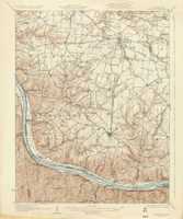
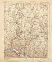
| Two topographic maps from 1931. Mostly Brown County, Ohio, but Bracken at the bottom | ||
![]()
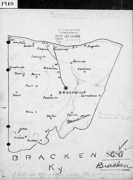 |
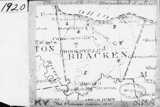 |
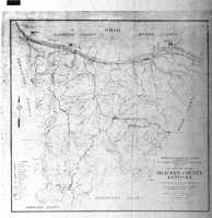 |
|
| 1909 map for 1910 Census | 1920 Census Tracts | 1926 map for 1930 |
Lenoxburg had its own Census Tract map in 1930.
 |
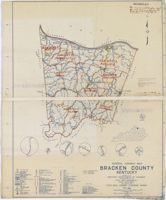 |
|
| These two maps were used to define the census tracts in 1940 (left) and 1950. The 1950 map was drawn in 1948. Note the small circle maps of Bracken towns at the bottom of the 1950 map. | ||
![]()
Map of Bracken County RFD's, c. 1940.
What's an RFD? (Wikipedia)
 |
|||
| Not a very detailed Bracken County map, but note that it's from 1800. That's old, folks. |
Robert Rennick drew this map of the locations of obsolete Bracken County post offices. |
 |
 |
| Bracken Geological Maps, 1926 and 1929 | |
 |
 |
 |
 |
 |
| These detailed maps of Augusta from 1895 are Sanborn Fire Maps, originally created to assist insurance companies assess risk for underwriting fire insurance, hence “fire maps.” These we've downloaded from the Library of Congress' site for Sanborns. There are more, earlier and later, both of Augusta and Brooksville, as well as some that are simply listed as “Bracken County.” Not all have been scanned as of this writing (August, 2018), but the Library's intent is to eventually bring them online. Stay tuned. | ||||
![]()
