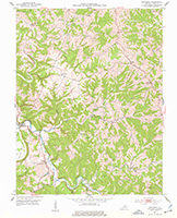
 |
 |
 |
||
| Owen formed from pieces of Gallatin, Scott, Franklin and Pendleton, 1819. | Owen loses area to Franklin Co., 1820. | Owen gains area from Gallatin, 1821. | ||
 |
 |
|||
| Owen gains area from Gallatin, 1827 | Owen loses area to Grant, 1876. | |||
| Owen County boundaries as they evolved over the years. In addition to the changes mapped, there was a minor change in 1862 to accommodate a property owner, and an 1825 survey to clarify and define the county line between Owen and Grant. | ||||
 |
 |
 |
| Owen County, 1889 Red lines are proposed railroads |
Owen County, Kentucky, 1935 red lines are roads, black lines are railroads |
Owen County, Kentucky Magisterial Districts in 1940 |
 |
 |
Maps of Owen County by B. Hardin, as a part of
The WPA Writer's Project in the 1930's
![]()
 |
 |
 |
 |
| Gratz | New Liberty, | Monterey | Lusby's Mill |
 |
 |
 |
 |
 |
| Owenton | Dallasburg(Wheatley) | Poplar Grove | New Columbus | Sparta |
| Town maps from the 1888 Lake Atlas of Owen County | ||||
![]()
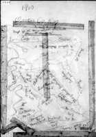
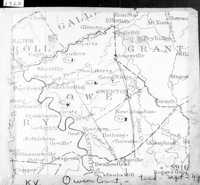
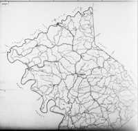
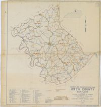
Each decennial census is broken into districts. These are the maps the Census folks used to define those census tracts.
 |
 |
 |
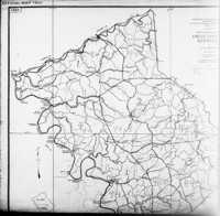 |
| 1900 | 1920 | 1923 for 1930 | |
 |
 |
||
| 1940 | 1937 map used in 1950 to delineate census tracts. |
![]()
![]()
 |
 |
| These detailed maps of Owenton from 1898 are Sanborn Fire Maps, originally created to assist insurance companies assess risk for underwriting fire insurance, hence “fire maps.” These we've downloaded from the Library of Congress' site for Sanborns. They also had maps at that site for Owenton from 1885 and 1893. | |
1931 Geological Survey Map
 |
 |
| Geology Map of Owen County, 1949 |
The Abandoned Pliocene channel of the Kentucky River |
![]()
 |
 |
 |
 |
| Kentucky River Navigation charts, with some nice details. These are continued from the Carroll County pages, here. | |||
![]()


