 |
 |
|
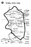
| The county as first formed, from Campbell County, in 1798. | Taking a portion of Gallatin, 1820 | |
 |
 |
|
| Gallatin takes back a corner, 1837 | Adjustment at Grant Co line, 1870 | |
| Adjustments in the county line since the county was formed. | ||
![]()
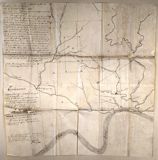
This 1834 map of a portion of Boone County was an exhibit in an early land dispute.
Proposed Railroad, 1866
You'll want the key to what all those red lines are. It's here.
| This map is from the 1914 Statistical Atlas of the US and identifies the absolute center of the US population in Boone County, Kentucky in 1880. The exact [?] spot is near an airport viewing area near the south end of Mineola Pike. There's an historical marker there. |
![]()

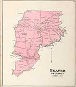
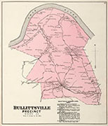
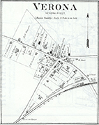
| Philadelphia's D. J. Lake Company put out atlases for hundred of counties in the US in the 1870's and 1880's. | ||
 |
 |
 |
An overview of the Lake Atlas Precincts |
Boone County Patrons | |
 |
 |
 |
 |
| Beaver Precinct | Bellevue Precinct | Bullitsville Precinct | Burlington Precinct |
 |
 |
 |
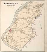 |
| Carlton Precinct | Florence Precinct | Hamilton Precinct | Petersburg Precinct |
 |
 |
 |
 |
| Taylorsport Precinct | Union Precinct | Verona Precinct | Walton Precinct |
 |
 |
 |
 |
| Petersburg & Verona | Burlington & Hebron | Walton | Verona |
![]()
 |
 |
 |
| Stringtown | Taylorsport | North Bend |
 |
 |
 |
| Rural Area | E. Petersburg | W. Petersburg |
 |
 |
 |
| Split Rock | Belleview/Maxville | Rabbit Hash |
 |
 |
 |
| Rural Area | Rural Area | Big Bone Island |
 |
||
| Hamilton | ||
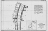
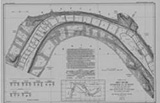
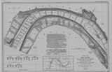
| In 1911-1914 the Corps of Engineers mapped the entire length of the Ohio River. You can see the whole thing, from Pittsburg to Cairo, at their web site. Clicking the maps shown here will take you to the appropriate Boone County map at the Corps' site. | ||
![]()
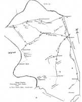
Toll Roads of Boone County, c. 1917
map drawn by Paul Tanner
 |
 |
 |
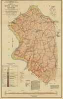
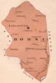
| Boone County, 1899 | A 1923 Boone County Map, before I-75, before US 42, and before the airport. |
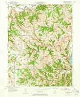
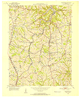
Topographic Map of northeastern Boone County from c. 1912 |
These detailed maps (pdf's) of Walton from 1921 are Sanborn Fire Maps, originally created to assist insurance companies assess risk for underwriting fire insurance, hence “fire maps.” These should eventually be available, in color, from the Library of Congress' site for Sanborns. There are Walton maps for 1921 and 1927, but to our knowledge, only Walton was mapped in Boone County. |
1929
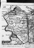 |
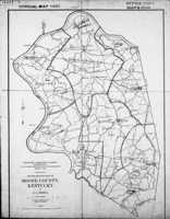 |
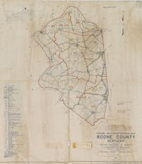 |
|
| 1920 | 1930 Census; Map dated 1923 | 1950 Census; map dated 1937 | |
| Maps delineating districts for the the decennial census | |||
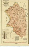 |
 |
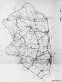 |
1931 Boone County Map |
Boone County, 1935 red lines are roads, black lines are railroads |
Boone County from a 1940 magisterial district map |
![]()
![]()
 |
| Robert Rennick drew this map of the locations, over time, of many of the various Boone County post offices |
![]()
 |
 |
 |
 |
 |
| 1938 | 1949 | 1954 | 1960 | 1969 |
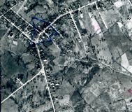
| By all mean, check out this site. It has aerial photography of Boone County. Note tabs on the right at that site that let you select the years of the photography you want to see: 1938, 1949, 1954, 1960, 1969, 1974, 1981 and many newer years. Shown is the intersection of US 25 and US 42 in Florence. Not exactly maps, but aerial photography is, in our opinion, not much different from mapping. | ||||
![]()
 |
 |
||
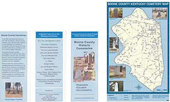
| Boone County Cemetery Map (pdf) from the Boone County Planning Commission |
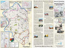
Boone County Heritage Tourism Map (pdf) from the Boone County Historic Preservation Review Board |
![]()

