 |
 |
 |
||
| Campbell County was formed from parts of Harrison, Scott and Mason Counties, 1797. | Area lost to formation of Bracken, 1796. | Area lost to formation of Pendleton, 1799. | ||
 |
 |
|||
| Area lost to formation of Boone, 1798. | Area lost to formation of Kenton, 1840. | |||
| Adjustments to Campbell County boundaries since inception. Unmapped is this minor revision in 1854. There's also a small conveyance to Grant County in 1831, before Kenton split off. | ||||
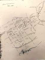
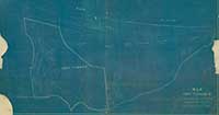
Lietch's Station Plat, c. 1790?
 |
 |
 |
 |
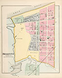
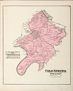
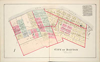
| Brooklyn & Jamestown, 1860 | Newport, 1860 | Dayton & Bellevue, 1884 |
Newport, 1884 |
| These Campbell Co. maps were drawn before Newport re-named many of its streets in 1890. | |||
1884 Flood Map
![]()

![]()
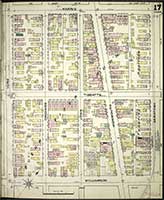 |
| This exceptionally detailed map of Newport from 1886 is a Sanborn Fire Map. They were originally created to assist insurance companies to assess risk for underwriting fire insurance, hence “fire maps.” We've downloaded this single page from the Library of Congress' site for Sanborns. This map is one of twenty-six in the set from 1886. You can download them all in incredible detail. Check back from time to time at their site, to see if they digitize the Newport sets from 1910, and the 1886 set from Dayton. |
![]()
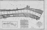 |
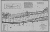 |
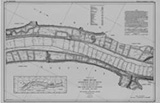 |
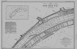 |
| Mentor | California | Oneonta | Ross |
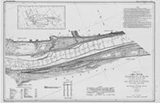 |
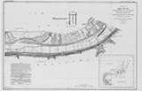 |
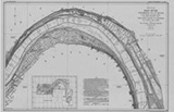 |
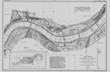 |
| Silver Grove | Brent | Dayton/Bellevue | Newport |
| In 1911-1914 the Corps of Engineers mapped the entire length of the Ohio River. You can see the whole thing, from Pittsburg to Cairo, at their web site. Clicking the maps shown here will take you to the appropriate Campbell County map at the Corps' site. |
![]()
 |
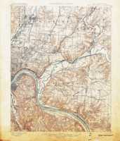 |
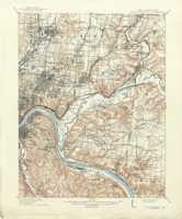 |
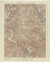 |
Edition of January, 1900 |
Edition of 1914, reprinted in 1941 | Edition of 1936 |
1914. With Baby Farms.
 |
 |
 |
Campbell County, 1889 |
Northern Campbell |
A Campbell-Kenton Reconnaissance Map, 1923 |
Fort Thomas, 1909
![]()
| These maps shown below were used by the Census Bureau to delineate census tracts. |
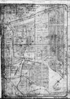 |
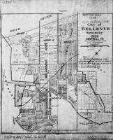 |
 |
Bellevue, 1912, for 1930 Census |
Bellevue, 1929, for 1940 Census |
Bellevue, 1912 for 1940? |
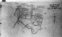 |
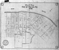 |
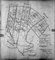 |
| Clifton, 1928 for 1930 | Dayton, 1928 for 1930 | Dayton, 1939 map for 1940 Census |
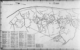 |
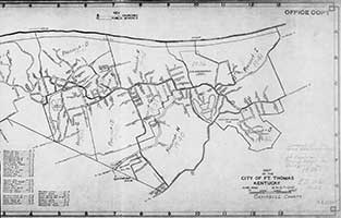 |
| Fort Thomas 1922 for 1930 Census | |
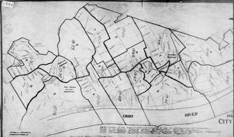 |
 |
| Fort Thomas, 1938 for 1940 Census | Fort Thomas, June, 1932; Rev. 1947 for 1950 Census |
 |
 |
 |
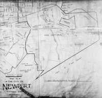
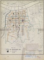
| 1900 Newport | Newport, 1920 | Newport, 1926 for 1930 |
 |
 |
| Newport, 1936 for 1940 | 1946 map for 1950 Census |
 |
 |
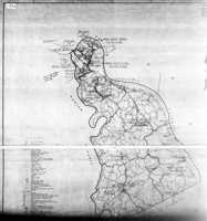 |
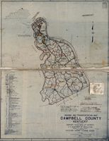 |
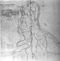
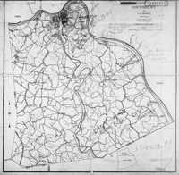
| 1910 County | County, 1923 for 1930? | County, 1940 | Campbell, 1937 for 1950 |
| The maps shown above were used by the Census Bureau to delineate census tracts. |
![]()
 |
 |
 |
 |
Campbell County, |
Campbell County, 1935 |
Campbell County | A 1948 map locating many Campbell County businesses in Newport, Bellevue and Dayton |
![]()
Portion of Campbell County in a 1914 topographical map
 |
 |
 |
|
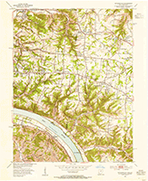
| Northwestern Tip (1950) | Newport (1952) | Melbourne (1953) | |
 |
 |
 |
|
| Alexandria (1953) | California (1953) | Mentor (1953) | |
 |
 |
 |
|
| Grants Lick (1953) | Wesley Chapel (1953) | Southeastern Tip (1953) |
![]()
A map of where there have been, at one time or another, many of the post offices in Campbell County.
A map by Robert Rennick
![]()
