 |
 |
|
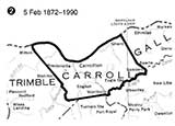
| The original boundaries, 1838 | Sanders corner of Gallatin acquired, 1872 | |
| Adjustments in the county line since the county was formed; only one change makes Carroll unusual; most counties have several. | ||
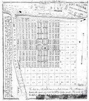
An 1879 effort to show the 1797 plat.
We've attempted to transcribe the two text sections for you.
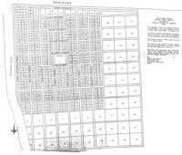
A more recent attempt at an early Carrollton plat - 1802.
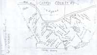
Early Carroll County Land Grants, unknown year
 |
 |
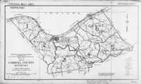 |
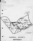
| 1910 | 1928 for 1930 |
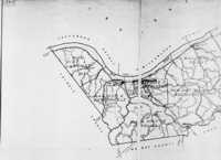 |
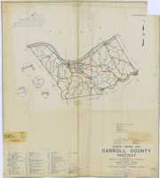 |
| For the 1940 Census | 1945 for 1950 Census |
| Carroll County census tract maps | |
 |
 |
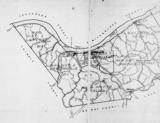 |
| Carroll County, 1889 red lines are proposed railroads |
Carroll County, c. 1935 red lines are roads; black lines are railroads |
Magisterial District Map, 1940 |
![]()
 |
 |
 |
 |
 |
| These detailed maps of Carrollton from February, 1893 are Sanborn Fire Maps, originally created to assist insurance companies assess risk for underwriting fire insurance, hence “fire maps.” These we've downloaded from the Library of Congress' site for Sanborns. There are other sets of Carrollton, from other years, we didn't download, but which you can. | ||||
![]()
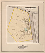
| Philadelphia's D. J. Lake Company put out atlases for hundred of counties in the US in the 1870's and 1880's. These are the Carroll pages from their Atlas of Carroll and Gallatin Counties, 1883. |
![]()
 |
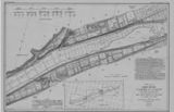 |
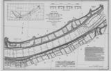 |
| East Ghent | West Ghent | Carrollton East |
 |
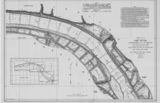 |
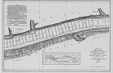 |
| Carrollton West | Brooksburg, Ind. | Hunter's Bottom |
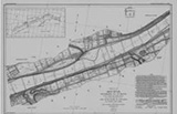
| In 1911-1914 the Corps of Engineers mapped the entire length of the Ohio River. You can see the whole thing, from Pittsburg to Cairo, at their web site. Clicking the maps shown here will take you to the appropriate Carroll County map at the Corps' site. | ||
![]()
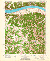
| A set of Carroll County topographic maps from 1950's: |
 |
||
| Northeast Tip (1957) | |||
 |
 |
 |
 |
| Hunters Bottom (1953) | Carrolton (1953) | Ghent (1952) | Sanders (1951) |
 |
 |
||
| Southwest Corner (1952) | Worthville (1952) | ||
![]()
 |
 |
 |
| At one time or another, sites of Post Offices in Carroll County. Map by Robert Rennick | This Geologic Map of Carroll County is from the late 1920's. | Lake Leverett, a long, long time ago. |
![]()
