 |
 |
|
| Pendleton as it was formed, 1798, from parts of Bracken and Campbell Counties. | 1819, the southwest corner lost to Owen County | |
 |
 |
|
| 1820, Grant County breaks off. | 1882, a small area gained from Bracken. | |
| Maps of how the Pendleton County boundaries have changed over time. In addition to the changes mapped, there was a minor change in 1854 and a minor change in 1866 to accommodate certain landowners was made. They also appointed some folks in 1848, to draw the exact line between Pendleton and Bracken. | ||
 |
 |
|
| DeMossville | Falmouth | |
| These two maps date from 1865 or so, and were drawn to show the block houses built by the US to guard the railroad bridges along the Kentucky Central Railroad against attack by the Confederacy. These are excerpts from the entire map, which shows insets of most towns from Benton Station (the town of Kenton) to Lexington. We have the entire map on the NKYViews Maps Page. | ||
![]()
 |
| Butler, 1886 |
 |
 |
 |
 |
 |
 |
|
| Falmouth, 1897 | ||||||
| These detailed maps of Falmouth and Butler are Sanborn Fire Maps, originally created to assist insurance companies assess risk for underwriting fire insurance, hence “fire maps.” These we've downloaded from the Library of Congress' site for Sanborns. There are more that we have not downloaded. Follow this link to the Library of Congress site for Sanborns, select Kentucky from states and Pendleton in counties to see'em all. | ||||||
![]()
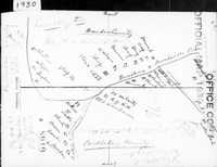
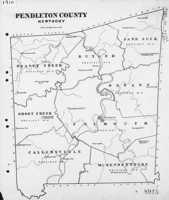
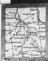
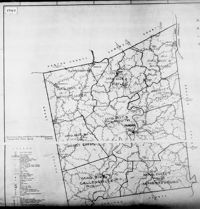
These are Census Enumeration Maps, used by the Census Bureau to map out census districts:
 |
 |
 |
 |
| 1910 Census Map | 1920 Census Map | 1928 map for 1930 Census |
Lenoxburg, Census Map, 1930
 |
 |
| 1932 Map for the 1940 Census | 1942 Map for the 1950 Census |
![]()
 |
 |
 |
| Pendleton County, 1889 | 1917 Plat of new parts of Falmouth. Note old and new street names. From a Facebook post by Fran Carr |
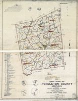
Pendleton County, 1935 (red lines are roads; black are railroads) |
![]()
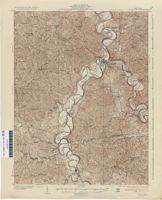 |
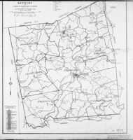
| Topographic Map of Pendleton County, 1930 |
![]()
 |
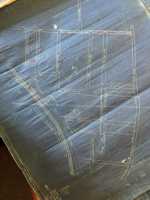 |
| Plats of Butler, unknown year From a Facebook post by Mason Taylor |
|
 |
 |
 |
 |
|
| Robert Rennick drew this map of locations, over time, of many Pendleton Post Offices. | This Pendleton County Map is from 1931. | In 1940, Chris Wilson wrote his master's thesis at the University of Cincinnati on the consolidation of many Pendleton County Schools. These are the before and after maps from that document. You can read some details of the school districts of the time in this excerpt. (pdf) | Map of every Pendleton Community ever, it seems. | |
![]()


